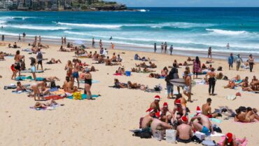
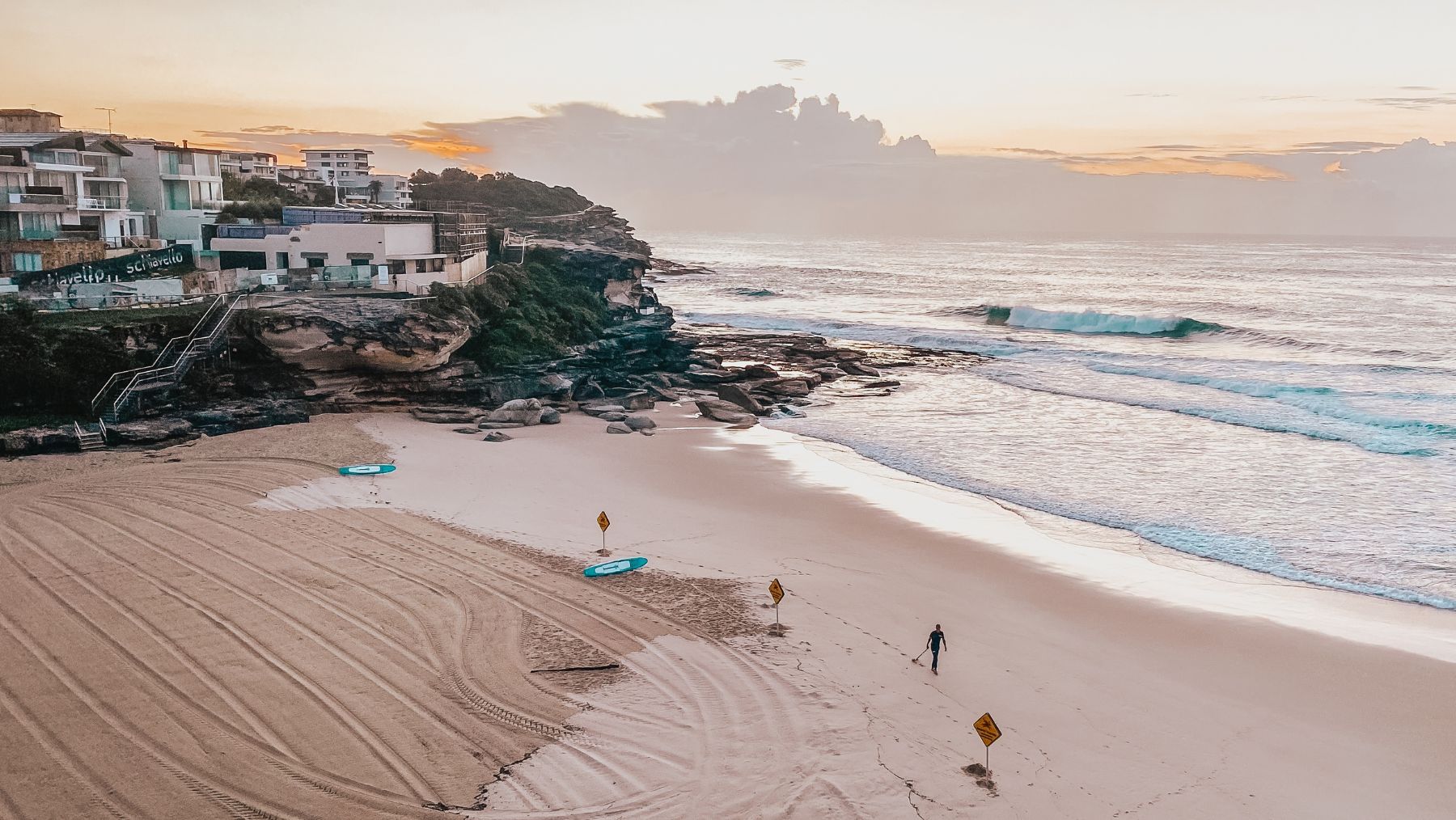
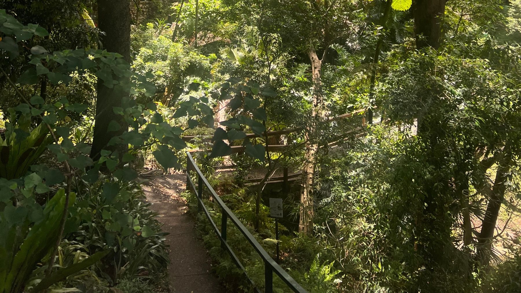
Sydney is celebrated for its spectacular natural beauty, from golden beaches and a glittering harbour to rugged bushland and abundant wildlife, and there’s no better (and cheaper) way to experience it all than on foot. Few major cities in the world offer such easy access to this many breathtaking landscapes, and it’s something Sydneysiders are justifiably proud of.
As a self-confessed walk-a-holic, I’ve ticked off most of Sydney’s walks, from iconic favourites like the Bondi to Coogee coastal walk to lesser-known gems that fly under the radar for many visitors.
Now, I’m sharing that hard-earned knowledge with a practical guide to the best Sydney walks, including how to get there, difficulty levels, what to bring and what to keep an eye out for along the way. I almost didn’t want to share these walks, but I’ve decided they’re too good to gatekeep.
The best thing about every walk on my list is that each starting point is easily accessible by public transport from the Sydney CBD, meaning you can simply hop on a bus or train. This is ideal for those who are visiting Sydney and don’t have access to a car.
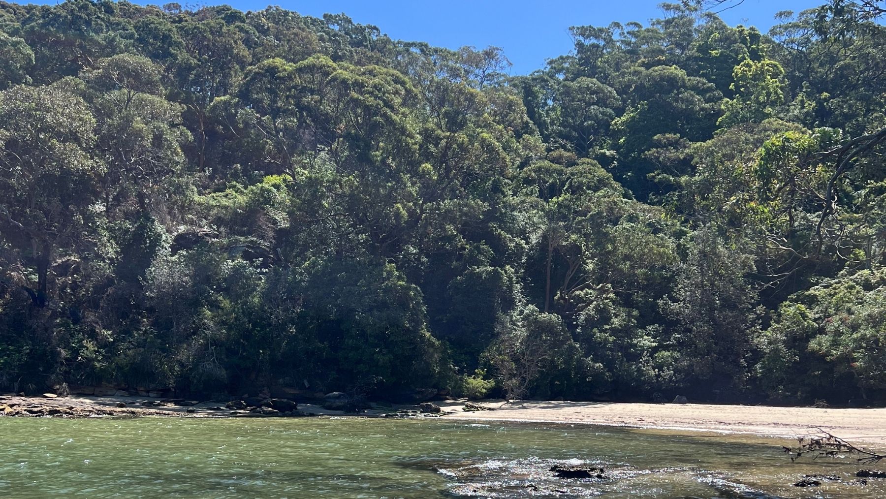


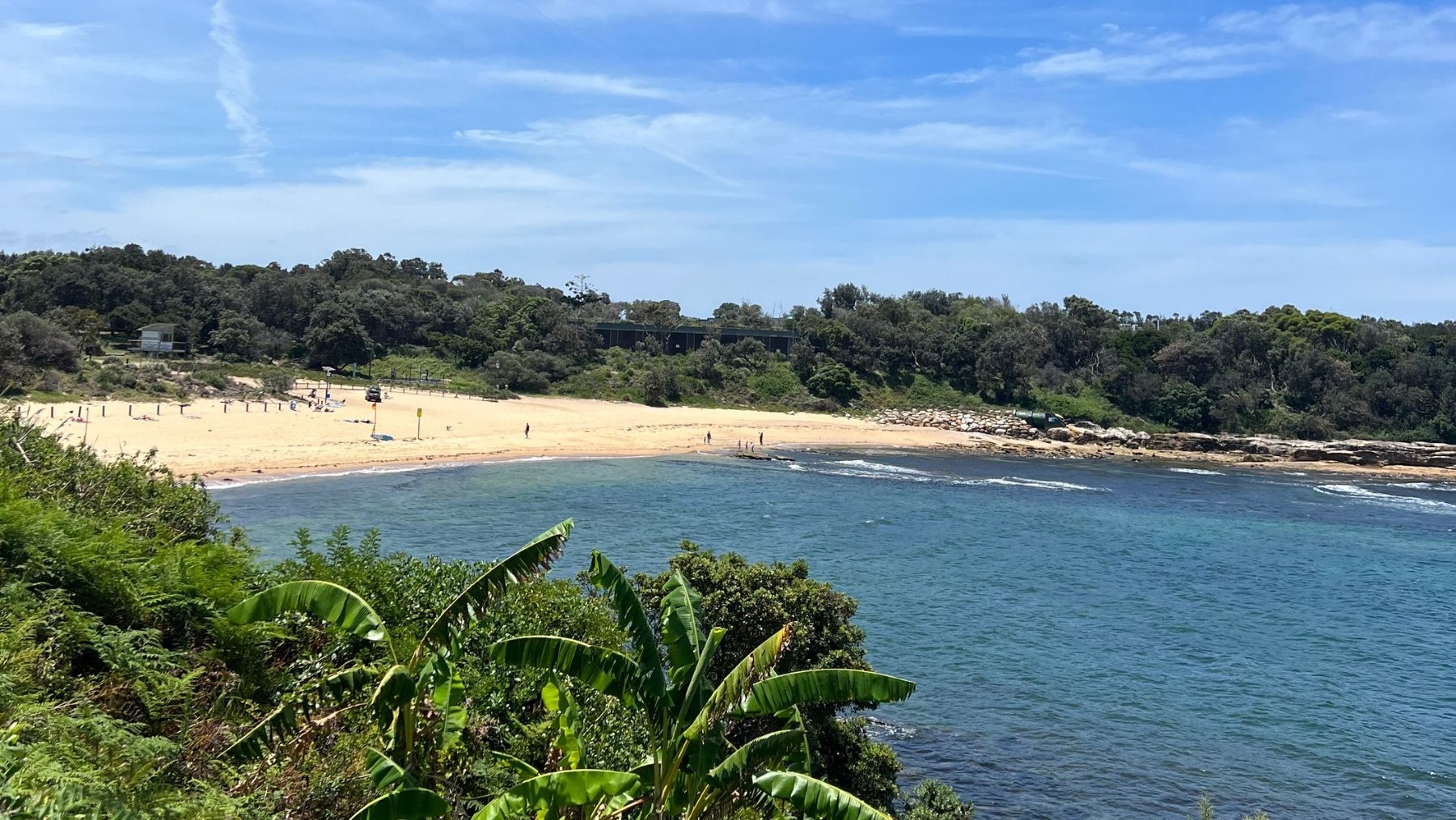
Snapshots from Bradley’s Head to Chowder Bay Walk. (Images: Isabelle James).
1. Bradley’s Head to Chowder Bay
Distance: 8.5km.
Difficulty: Moderate: some narrow sections and muddy areas after rainfall.
My top tip: Make sure you stop for a dip at the secluded Taylor’s Bay.
This 8.5km walk delivers some of the most picturesque views of Sydney Harbour, passing the iconic Taronga Zoo along the way, making it the perfect choice if you want to make a day of exploring what I consider one of the North Shore’s most scenic stretches.
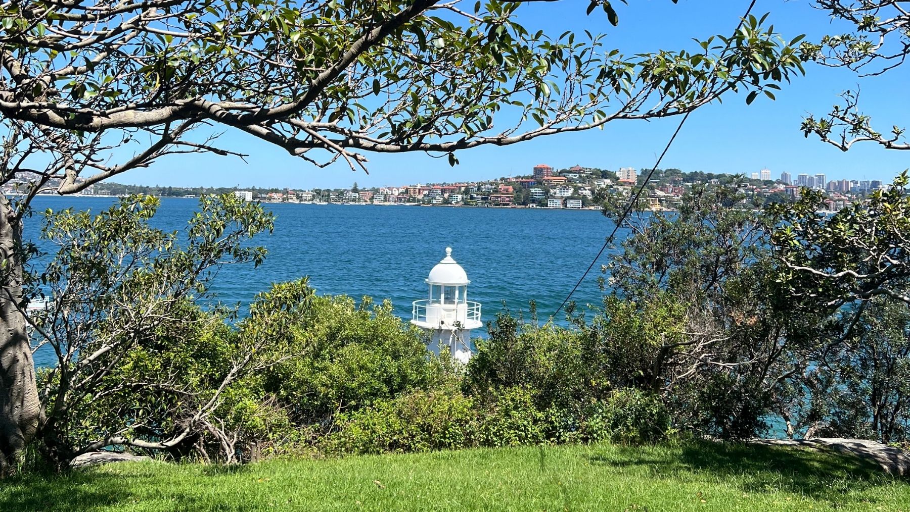
The best way to get to Bradley’s Head from the Sydney CBD is by hopping on the F2 ferry from Circular Quay to Taronga Zoo. From the Taronga Zoo Wharf, it’s a 10-minute walk to the start point, which is labelled on Google Maps as the Bradley’s Head Walking Track.
You can find the start opposite the Taronga Zoological Park building (not the main entry of the zoo, but the building on Athol Wharf Road). From there, follow the track down into the bush and start your Strava timer.
The walk then loops around Ashton Park and Bradley’s Head, where you can stop for a dip or watch fishermen cast off the Booraghee Amphitheatre, which has a beautiful backdrop of the Sydney Harbour and Sydney Opera House.
Spot the bright white Bradleys Head Lighthouse before continuing to Taylor’s Bay through tall eucalyptus trees (and even the occasional banana tree!) This walking trail also passes gentle creeks, lush vegetation and the satisfying noise of nearby whip birds.
Our favourite place to stop off for a swim was the secluded Taylor’s Bay, which you can access down a narrow walking trail. Spot white yachts off this small beach and picnic on its flat rocks or sandy area.
Once you feel suitably rested and ready to rejoin the trail, continue to Chowder Head, where you can stop for another secluded swim, before wrapping up the walk at Chowder Bay, which has a larger, busier stretch of sand.
Reward yourself at the end of this walk with lunch or dinner at one of Chowder Bay’s eateries: Ripples Chowder Bay, L’Heritage and Cafe La Mer. I’d recommend Ripples for perfect harbour views and a delicious modern Aussie menu.


Some of my pictures from the Uloola Falls Trail. (Images: Isabelle James).
2. Uloola Falls Trail
Distance: Roughly 11.5km
Difficulty: Moderate-Hard: Some steep steps and up and down.
My top tip: Pack a picnic and stop for a couple of hours at Karloo Pools.
This is probably the biggest ‘hidden gem’ out of all the Sydney walks on my list, and I’ll be honest, I wasn’t sure if I was willing to share this one. However, who am I to deny our readers this stunning Royal National Park walk past waterfalls and wildflowers, where you can dive into the beautiful freshwater Karloo Pools after making your way down the trail.
This trail is also a great choice for those who have explored all the beaches in Sydney and are looking for something different.
To get to the start of the Uloola Falls Trail, catch a train from Central Station to Waterfall (which takes roughly 50 minutes). Once you get to Waterfall Station, leave the platforms and turn left to the start of the Uloola Falls Trail. You’ll begin on a quiet sandy path, which is not as aesthetic for the first portion of the walk, but is necessary to follow to eventually get to the good stuff.
Eventually, you’ll reach an incredible steep waterfall that cascades into the Uloola Brook. This isn’t even the best part of the walk, though. Follow the signage, and the trail will begin to descend towards the Karloo Pools.
A word of warning: we passed some hikers who told us they had seen a venomous brown snake basking on the path. Top tip after a snake sighting: stamp on the ground! The snakes will feel the vibrations and hopefully slither out of your way.
The descent to Karloo Pools makes this walk slightly more challenging than average, as the path is quite steep and requires a bit of scrambling over rocks. However, once you make it to the bottom, you’re rewarded with the most beautiful freshwater pool in Sydney.
We actually couldn’t believe our eyes, and all agreed that the long sand path and descent down the rocks was well worth the effort.
After you’ve made the most of your time at the Karloo Pools, the trail leads you out of the basin back to Heathcote Station. This part is quite tiring (what goes down must come up!), but along the way you’ll see stunning views of the huge Royal National Park, plus some incredible sandstone rocks.
Once you’ve finished the climb up, follow the signage to Heathcote Station, where you can hop back on the T4 Eastern Suburbs service to return to Central Station. If you want to grab a snack after your walk, there’s a large IGA near Heathcote Station, or, for something more substantial, drop by the Heathcote Hotel and reward yourself with a schooner and a schnitty.


The gorgeous green-blue waters visible from the Spit Bridge to Manly Walk. (Images: Isabelle James).
3. Spit Bridge to Manly
Distance: 10km.
Difficulty: Moderate: Some stairs and one of the longer walks on this list.
My top tip: Don’t worry too much about the Eastern Water Dragons… they may block your path, but will scamper away eventually.
Unlike the Uloola Falls Trail, the Spit Bridge to Manly walk is much more well-known. That being said, I’m a firm believer that if you’re only here for a short amount of time, dedicating your day to this Sydney walk is the best way to see some of the most beautiful harbour beaches in the city.
Another great thing about this walk is that you finish in Manly, meaning you can grab a celebratory gelato at Anita’s, head to Felon’s for a chilled craft beer or grab a slice at Pocket Pizza. As this walk is 10km, a good, post-walk recovery feed is always appreciated.
You can reach the start point of the Spit Bridge to Manly walk by hopping on a bus (either the 172X or 173X) from Wynyard Station. Get off at Spit Bridge, and look for the stairs that lead down under the bridge and onto the start of the walking trail.
The walk begins at the edge of Balgowlah Heights, with a loop around Shell Cove. You’ll follow the trail around under a rock overhand through to a shaded path through forests. Eventually, you’ll reach the dog-friendly beach, Sandy Bay, before continuing round to Clontarf Beach, one of my favourite spots on this walk.
You’ll stroll along Clontarf Beach, marvelling at the beautiful waterside houses that literally sit on the beach, plus the clear and calm waters that gently lap the shore. It’s the perfect spot to enjoy a swim, sip a coffee at the Sandy Bar Cafe, or make use of the public toilets and changing rooms at Clontarf Reserve.
Follow the wooden boardwalk and take in the stunning view of Castle Rock Beach below, where the water shimmers in some of the clearest green-turquoise hues I’ve ever seen.
Next, you’ll pass the Grotto Point Aboriginal Rock Engravings, which are etched into the Sydney basin sandstone. Accompanied by informative signs, the incredible, well-preserved engravings of humans, marine and land animals give you a glimpse of the park’s rich Aboriginal past. One of the images above shows an etching of a fish found at Grotto Point.
At this point in the trail, there are fewer shaded areas, so make sure you have plenty of water and reapply sunscreen, especially if it’s a hot day. You’ll continue through Sydney Harbour National Park, where there are lots of lookouts to stop at and snap pictures of the beautiful harbour.
As you follow the last part of the route, you’ll pass through more suburban areas as you near Manly. Stroll past the Fairlight Beach Rockpool and look out for Fairy Penguins (yes, really) as you near the end of the walk.
Finish on Manly’s West Esplanade, where you can head down the Corso to explore shops and hit Manly Beach, or park up at one of the suburb’s incredible eateries before catching the ferry back to Circular Quay from Manly Wharf.


The stunning views captured on the Malabar Headlands Track. (Images: Isabelle James).
4. Malabar Headlands Track
Distance: 6km loop.
Difficulty: Easy.
My top tip: Wear plenty of sunscreen as there’s almost no shade on this walk.
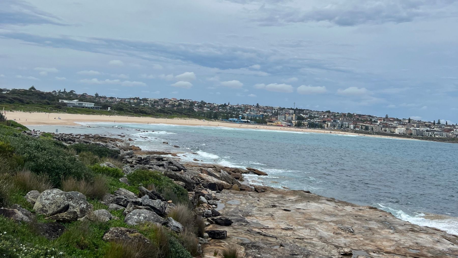
This lowkey, easy-going route runs from the popular shores of Maroubra Beach to the quieter sands of Malabar Beach, tracing the edge of Malabar Headland. Sometimes I even run along this track, as its ideal for runners thanks to the minimal hills and clearly marked path.
You’ll start this walk at the Southern end of Maroubra Beach, which you can reach from the CBD by hopping on the 396 bus and walking down the beach. You’ll see the beginning of the trail (known as the Boora Point Walking Track) which you can then follow along the coastline on the clearly marked boardwalk.
From here, you can look back at a gorgeous view of Maroubra Beach, as well as an ongoing view of the vast ocean as your wander along the dramatic cliff top. You’ll be surrounded by rugged bushland and sandstone enscarpments while you enjoy the satisfying noise of the waves hitting the rocks. This is also an incredible place to be during whale season (May to November), with many people spotting humpbacks and even the rarer southern right whale swimming in the sea below.
Continue round the headland and you’ll reach a sandy path as you descend towards Malabar Beach. The small, quiet beach is the perfect shielded spot for a dip, and it also has a beautiful rock pool, located on the foreshore next to Randwick Golf Club.
Cromwell Park sits behind the beach, for those who would rather perch on grass and have a picnic than get all sandy, and it also has children’s playground and public toilets, showers and changerooms.
I always pop into Coastal for a smoothie when I’m in Malabar, before heading over to the beach and enjoying the tranquil vibe of my favourite Randwick beach.
A warning to those who want to do this walk: The eastern section of Malabar Headland National Park is subject to closure when the adjacent ANZAC Rifle Range is in use. This is typically every Saturday and the first and third Sunday of the month, however sometimes it is in use during weekdays. You can check which areas will be closed, and when, here.